How Shellcamp Pond Got Its Name
An excerpt from The History of Gilmanton by Daniel Lancaster:
Shellcamp Pond was thus named by certain hunters, who, in the winter of 1749 and 1750, ventured into this wilderness with their guns, traps, and fishing apparatus, and encamped for the winter on the Western shore of this Pond. They found a large, hollow, pine tree fallen in a favorable position for a shelter, and in this shell of a tree, they made their camp during their stay. It was ever after called by them Shellcamp Pond.
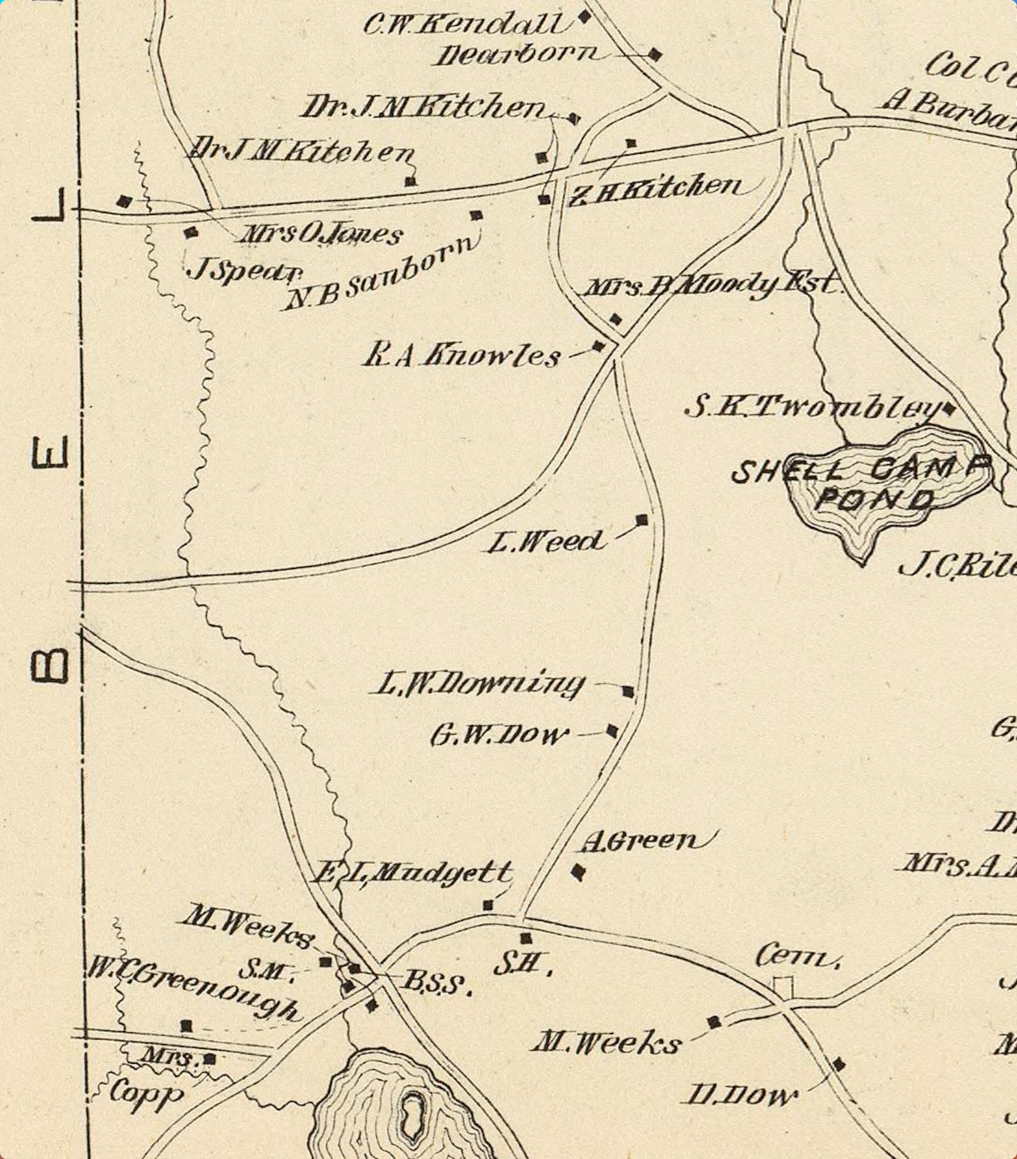
1859 Shellcamp Pond
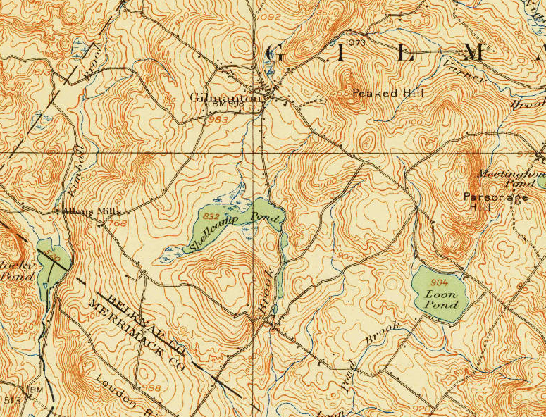
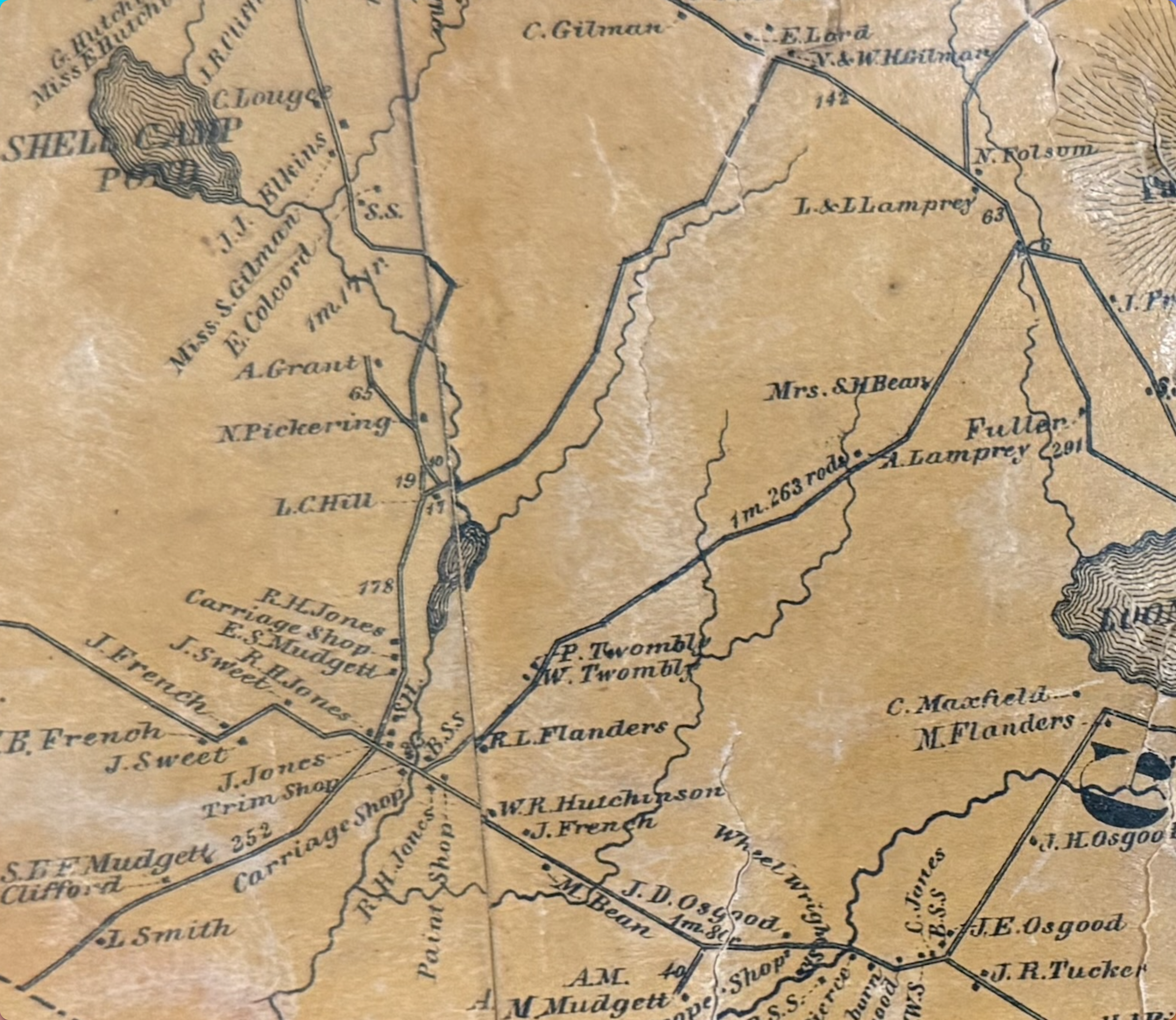
In 1859 Shellcamp Pond was less that half it's size and mainly to the west of Blueberry Island. The map shows Shellcamp Pond's water more north and west than it should be or the curve in the road that is now along the northeast corner of Shellcamp Pond is too far south and east. The curve in Meadow Pond road is something that is kind of set in stone and should be currently in the same place it was back then.
Five Rivers Conservation Trust - Story about Jones Mill
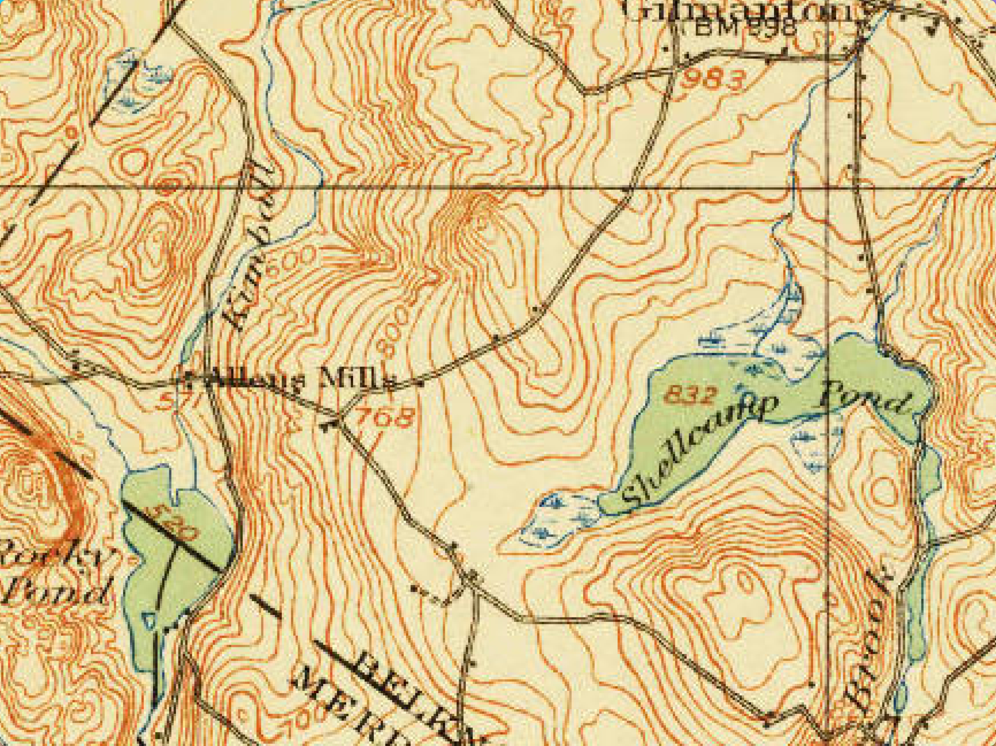
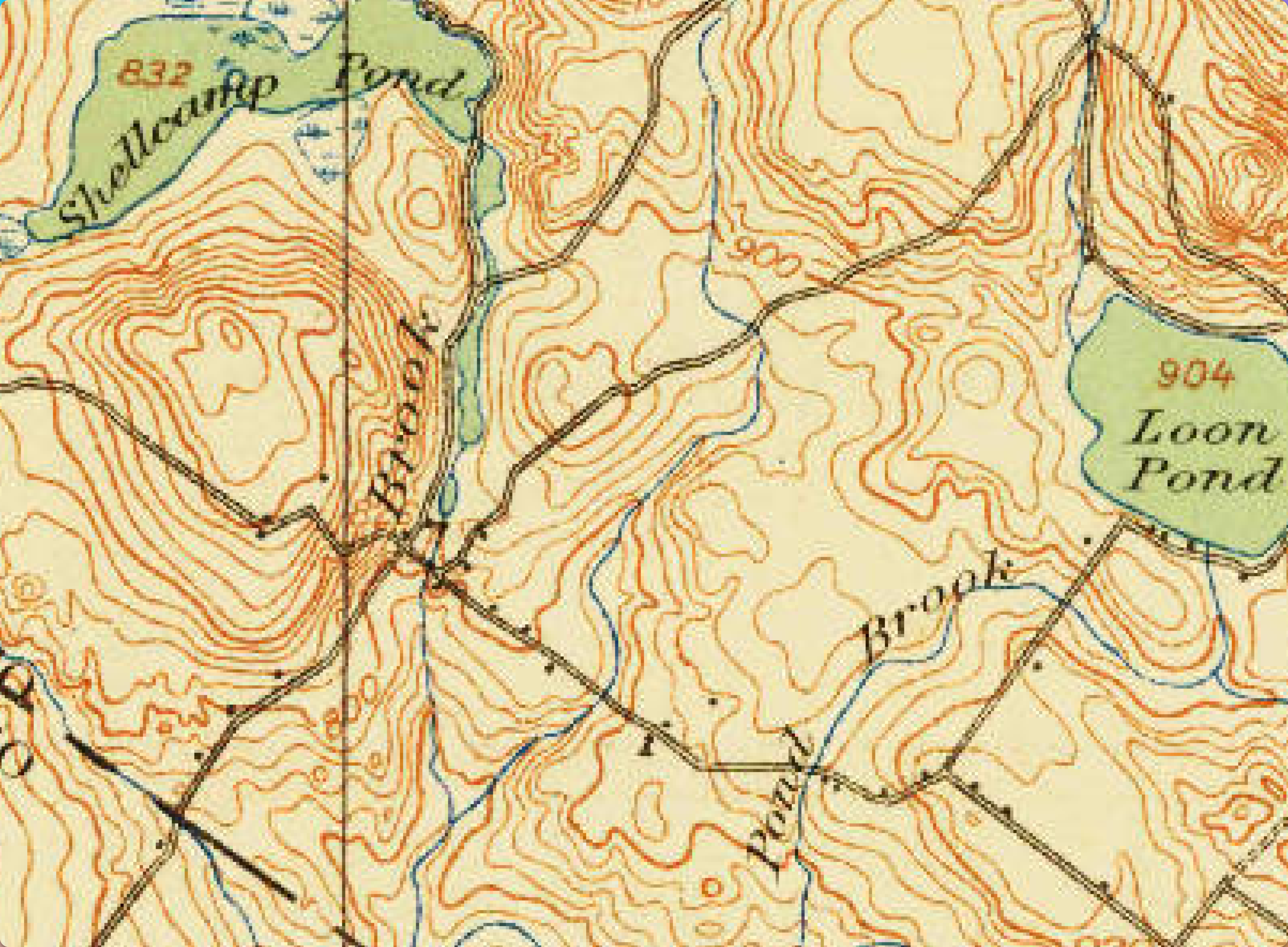
In their description of Jones Mill it is described that by 1845 there had been 4 dams built along Academy Brook. From the 1859 map it seems that those dams did not make Shellcamp Pond what it is today. There is also an 1892 map that shows Shellcamp in the same way as the 1859 map. The 1919 Topographic map shows Shellcamp Pond pretty much the way it is today, which probably means that the dam that combined Meadow Pond and Shellcamp Pond was built between 1892 and 1919. It may have been that there was a smaller dam there during the Jones Mill period and then it was made larger at a later time.
The same article about Jones Mill describes it at its peak in 1880. I haven't found information about when Jones Mill stopped doing business.
Jones Mill History
The History of Gilmanton by Daneil Lancaster, describes Jones Mill as follows:
The mills at the outlet of the Shellcamp Pond, called Jones' Mills, consist of two grist mills, a saw mill, a shingle mill, and other machinery.
Five Rivers Conservation Trust - Story about Jones Mill gives a brief overview of the area with some pictures.
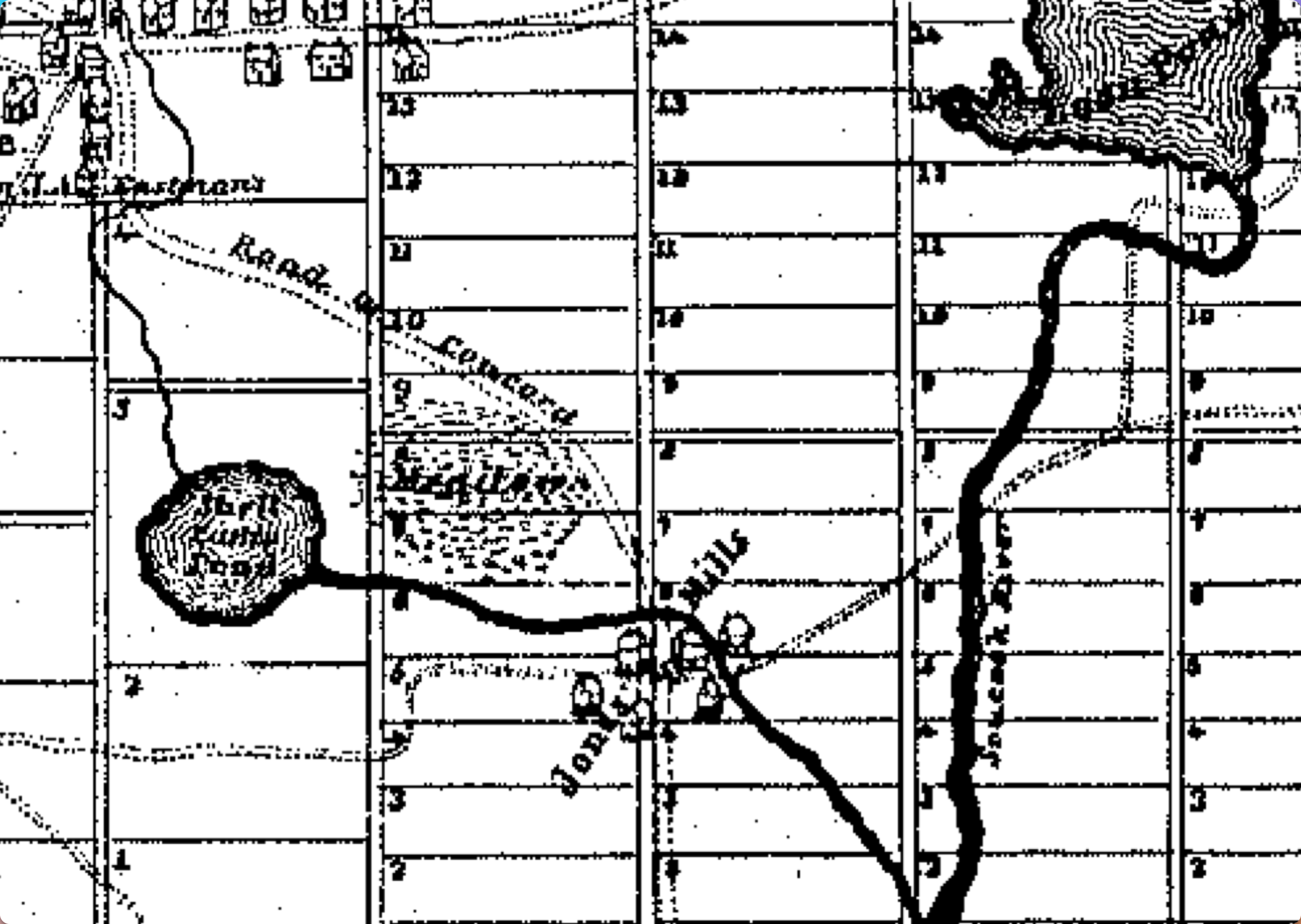
Below are cropped maps of the Jones Mill area from 1845 to 1919.
1845
1859
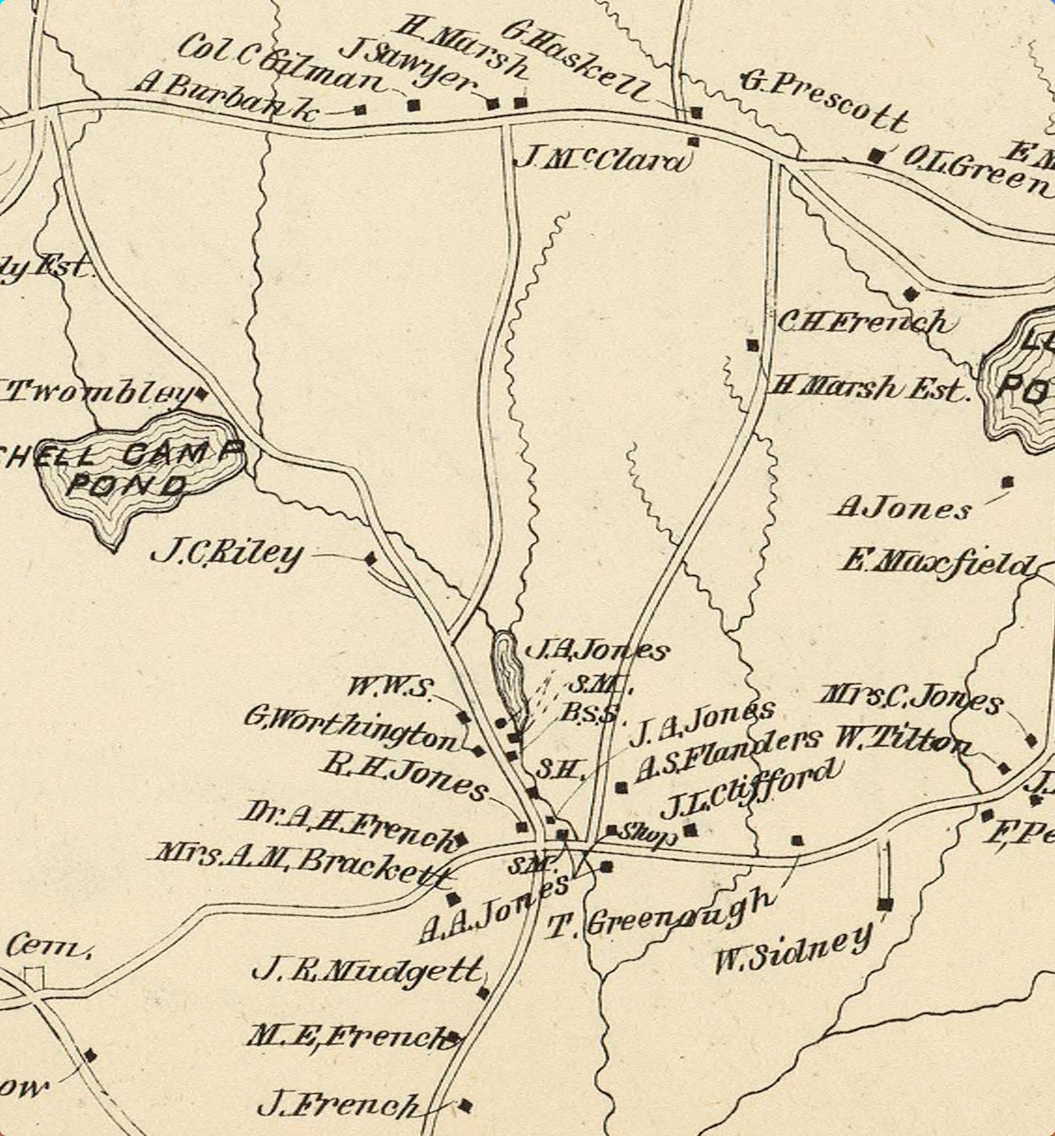
1892
1919
Allens Mill History
I haven't been able to find any information about Allens MIll. The Mills were down by Rocky Pond. They got their water from a brook that is now called Kimball Brook.
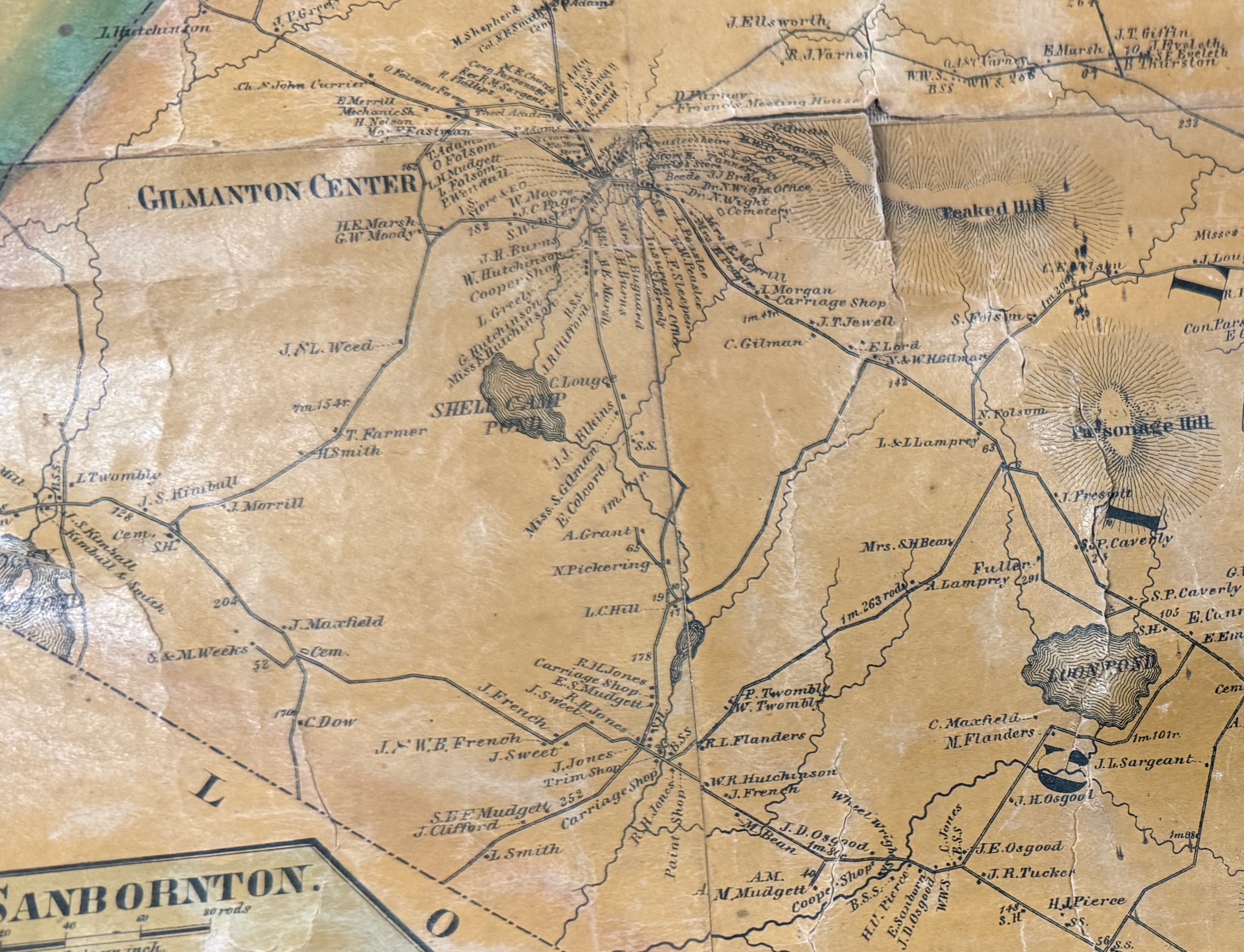
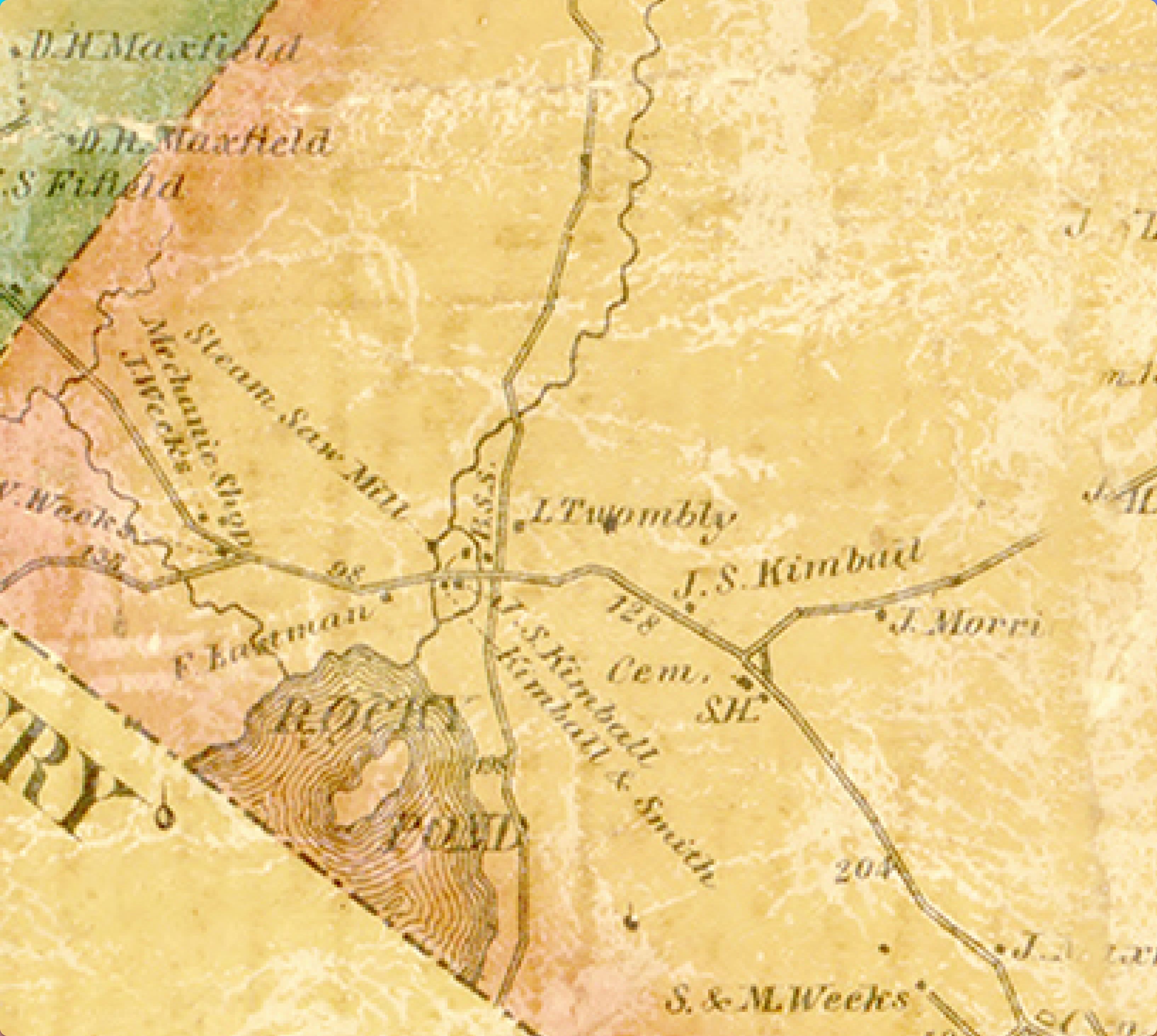
The mill complex was first called Greeley's Mill and then Kimball's Mill. Below are some maps from 1845, 1859, 1892, and 1919. They show the Greeley name, and then Kimball, and then no mill but the road is named Allens Mill.
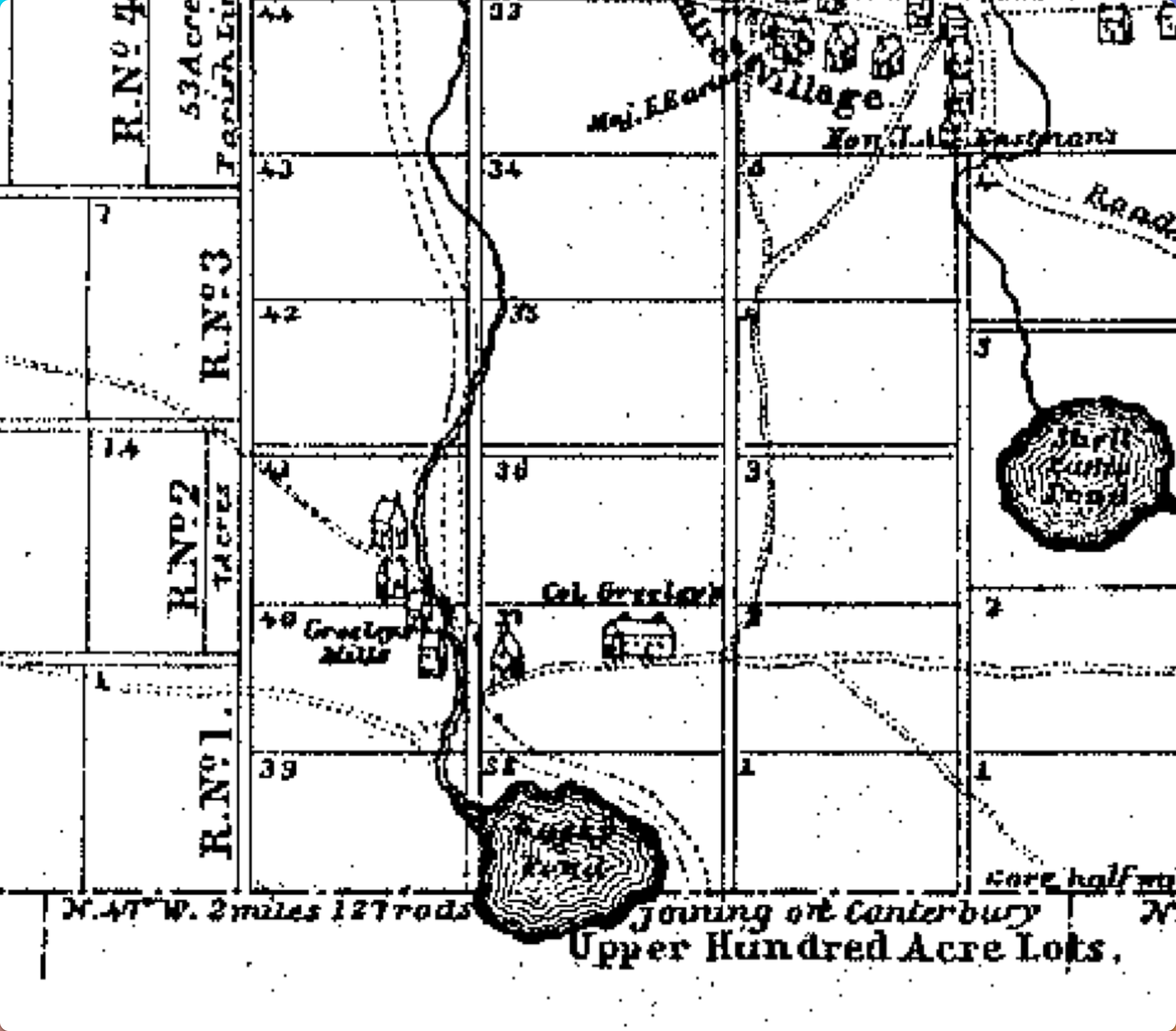
1845
1859
1892
1919